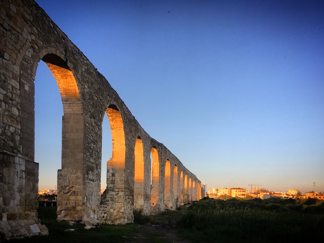
At the height of the Roman Empire, more than 400,000 kilometers of roads connected provinces from Britain to Mesopotamia, with roughly 80,000 kilometers of those being major stone-paved highways. The Romans called them viae publicae — public roads — and their engineering was so superior that many survived not just centuries but millennia. Today, remarkably, you can still walk stretches of these ancient highways, feeling the same basalt and limestone polygonal stones underfoot that legions, merchants, and emperors once trod.
Via Appia Antica: The Queen of Roads
The Via Appia, begun in 312 BC by the censor Appius Claudius Caecus, originally connected Rome to Capua and was later extended to Brindisi on the Adriatic coast, covering roughly 560 kilometers. The Romans themselves called it the “Regina Viarum” — the Queen of Roads. Today, the best-preserved and most walkable section begins just outside Rome’s Porta San Sebastiano, within the Parco Regionale dell’Appia Antica. Here, the original road surface remains largely intact: large, flat polygonal stones of grey basalt fitted together so precisely that many joints are still tight after 2,300 years.
Walking the first several kilometers of the Appian Way outside Rome is a remarkable experience. Ancient tombs line both sides — Roman law forbade burial within the city walls, so prominent families built elaborate monuments along major roads. The cylindrical tomb of Caecilia Metella, dating to the first century BC, is the most famous. Further along, you pass the catacombs of San Callisto and San Sebastiano, the reputed site of the “Quo Vadis” encounter between Peter and Christ, and crumbling villa walls overgrown with umbrella pines and wildflowers. On Sundays, when the road is closed to traffic, the atmosphere is especially magical.
How Roman Roads Were Built
Understanding why these roads survived requires understanding how they were constructed. Roman road engineering followed a remarkably consistent methodology across the empire. First, surveyors called gromatici used a tool called a groma to plot straight lines across the landscape. Then laborers excavated a trench typically one meter deep. The road was built up in layers: a foundation of large stones (statumen), a layer of gravel and crushed rock bound with lime mortar (rudus), a finer layer of compacted gravel (nucleus), and finally the surface pavement (summa crusta) of large fitted polygonal stones. The road surface was crowned — higher in the center — to channel rainwater into drainage ditches on either side.
Milestones — the origin of our word “milestone” — were placed at intervals of one Roman mile (approximately 1,480 meters). These cylindrical stone pillars recorded the distance to the nearest major city, the name of the emperor who authorized construction, and sometimes the name of the governor or engineer responsible. Hundreds of these milestones survive across Europe, many now displayed in museums.
Other Walkable Roman Roads Across Europe
The Via Domitia in southern France, built in 118 BC to connect Italy to Spain, has a remarkably well-preserved section visible in the center of Narbonne, where the original road surface and ruts from cart wheels are exposed beneath a transparent covering in the Place de l’Hôtel de Ville. Longer stretches can be walked in the countryside between Nîmes and Béziers, where the road follows ridgelines offering sweeping views of the Languedoc vineyards below.
In England, Watling Street ran from the port of Richborough in Kent through London (Londinium) to Wroxeter (Viroconium) in Shropshire, and much of its route was later paved over by the modern A2 and A5 roads. But walkable Roman sections survive, particularly near the village of Ambrosden in Oxfordshire and in stretches of the A5 in Northamptonshire where the original alignment runs parallel to the modern road. Dere Street in northern England, connecting York (Eboracum) to Scotland, also offers excellent walking sections through open moorland in County Durham.
How Roads Shaped European Geography
Roman roads did more than move armies — they defined settlement patterns that persist to this day. Major European cities sit where they do because of Roman road junctions: London, Paris, Vienna, Cologne, and dozens more grew around Roman road intersections or river crossings. The remarkably straight A1 autoroute south of Paris follows the route of the Via Agrippa, laid out in the first century BC. Spain’s national road network radiates from Madrid in a pattern established by Roman roads emanating from Toletum (Toledo) and Caesaraugusta (Zaragoza). Even the gauge of European railway tracks — 1,435 millimeters — is sometimes claimed, with debatable accuracy, to derive from the width of Roman cart ruts.
To walk a Roman road is to participate in an unbroken continuum of European travel stretching back more than two thousand years. The stones underfoot carried Caesar’s dispatches, early Christian missionaries, medieval pilgrims, and Napoleonic armies. They remain, patient and enduring, waiting for one more pair of feet.

Leave a Reply